Okiersk
Okiersk is a small village on the Napoleon Strasse (road in German) a few kilometers east of
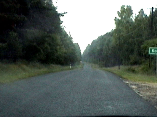
Tuchel; this road was originally able to take six teams of horses pulling wagons simultaneously to Russia (a big mistake for Napoleon). Here is a picture of the modern road.
Although not in Okiersk, I might note here that
my great grand father August Wilhelm Remus apprenticed as a cart maker on this road (probably in Tuchel) prior to heading to Volhynia around 1867.The village is in three parts. One is on Napoleon Strasse, one portion is south of Napoleon Strasse (next to the village of
Lossiny), and the original portion is on a river just north of Napoleon Strasse.The Michael Remus (originally from
Pollnitz) who lived in this village was a miller so lived in the third portion of the village with his mill on the river. The Okiersk miller privilege was first offered in 1648 by the Zalinski family; it was one of the two mills serving the Tuchel area. The mill was destroyed by the Swedes in 1655 and rebuilt soon thereafter. Click here for the descendents of Michael Remus One of Pollnitz.Michael Remus lived well in
Pollnitz prior to the 1772 First Partition of Poland. His father had consolidated three farms into one Lehmanngut (farmer's estate) and Michael ran a wind powered mill. When the Prussians took over, it was not clear that his father's land grants would survive (although ultimately they did and the estate continued until the later owners broke the estate up). In any case, Michael, his family, and related families moved to Okiersk and other nearby villages including Krumstadt.Here is his record from the 1772 land census:
Remus, Michel Ockiersk Tuchel 18113128#131 6042 2540 734
Michael was living with wife Elisabeth, one son over 12 (Michael), 3 daughters over 12 (Eva Rosina, Barbara, and ?), 2 male hired workers, 1 female hired worker. According to DG, this Michel was a muller (miller) in Wokerske (Okiersk) in 1776.
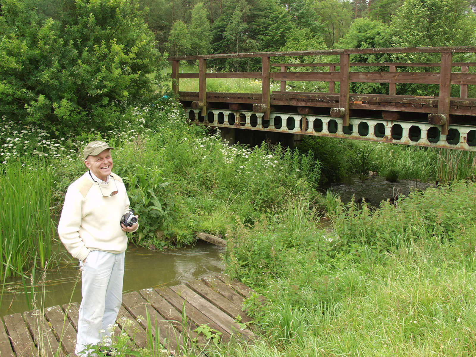
The original village was on a river suitable for a water mill. Here is a picture (with hard to see stone foundations along the stream and under the bridge):
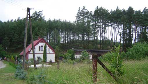
The Mill Site (now gone) was located next to the house shown here:
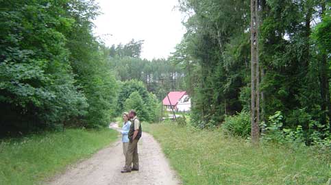
The original village was centered on the mill as most villagers worked there. So there were houses on the top of the ridges shown above as well as in the river valley. By 1865, there were 85 children attending a school in this village. The graveyard was located in the group of bushes to the left of Kasia and the current owner of the land:
For a Map of Okiersk including the Napolean Strasse (where August Remus apprenticed as a wagon maker),
Click here for the Adobe Acrobat Version. Here is a similar map where the villages later associated with the Remus family are shown in yellow: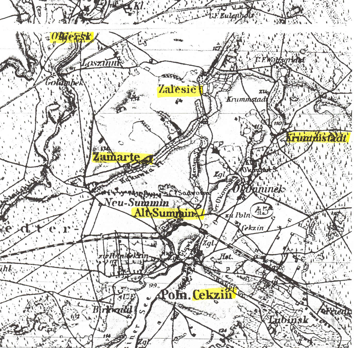
(Click the map to blow it up)
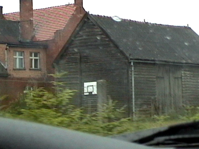
Here are two pictures of houses in the village on Napolean Strasse on a rainy day:

Click here to go to other West Prussia Villages.
Please send any queries to Bill Remus at
October 31, 2006